
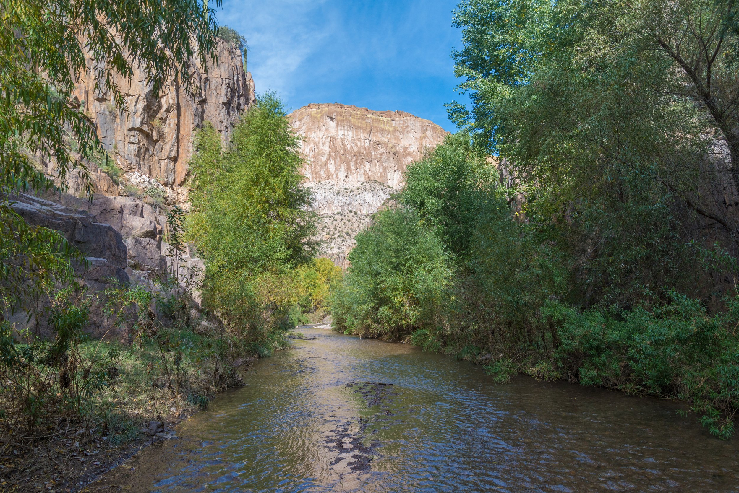
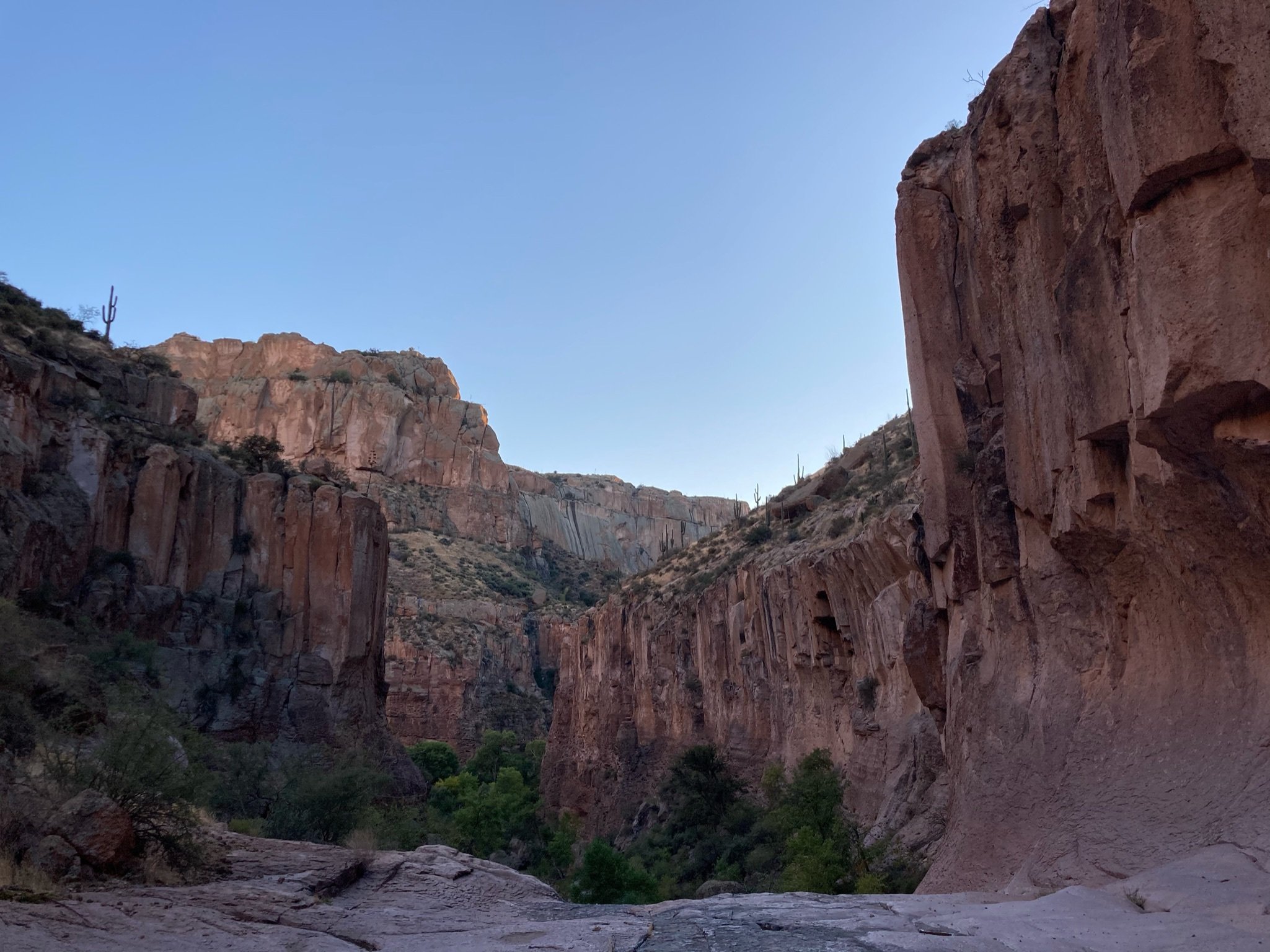
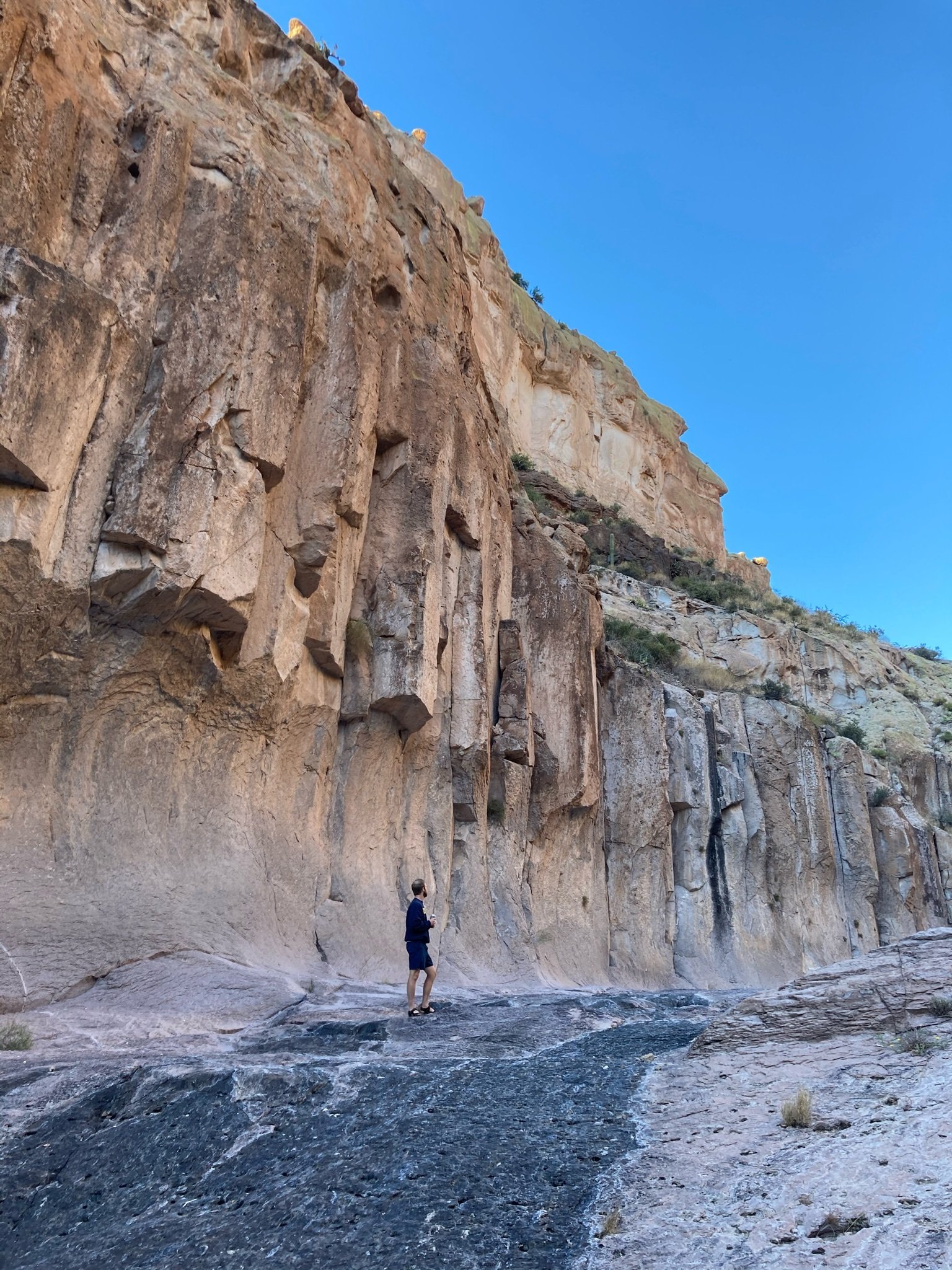
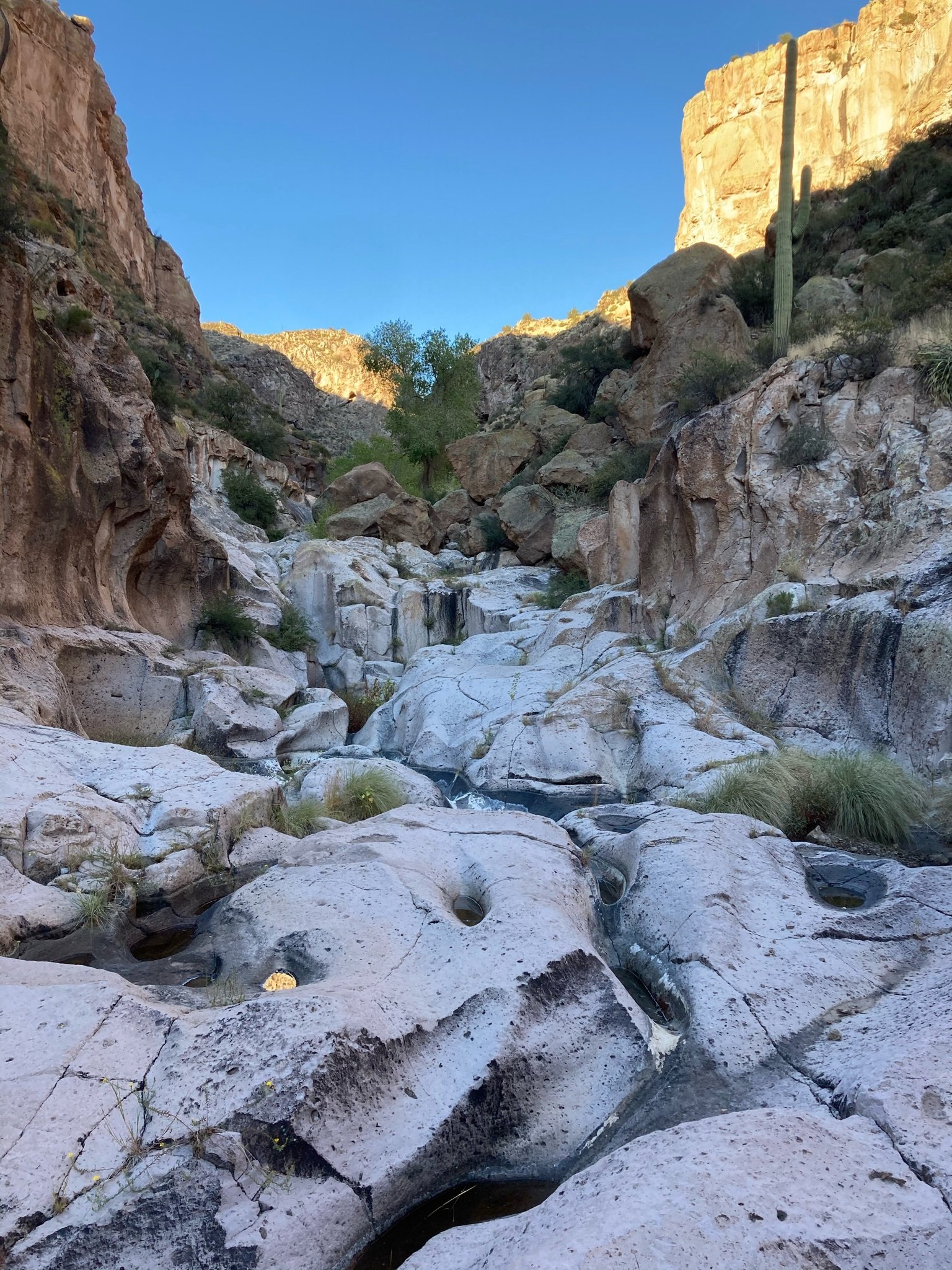
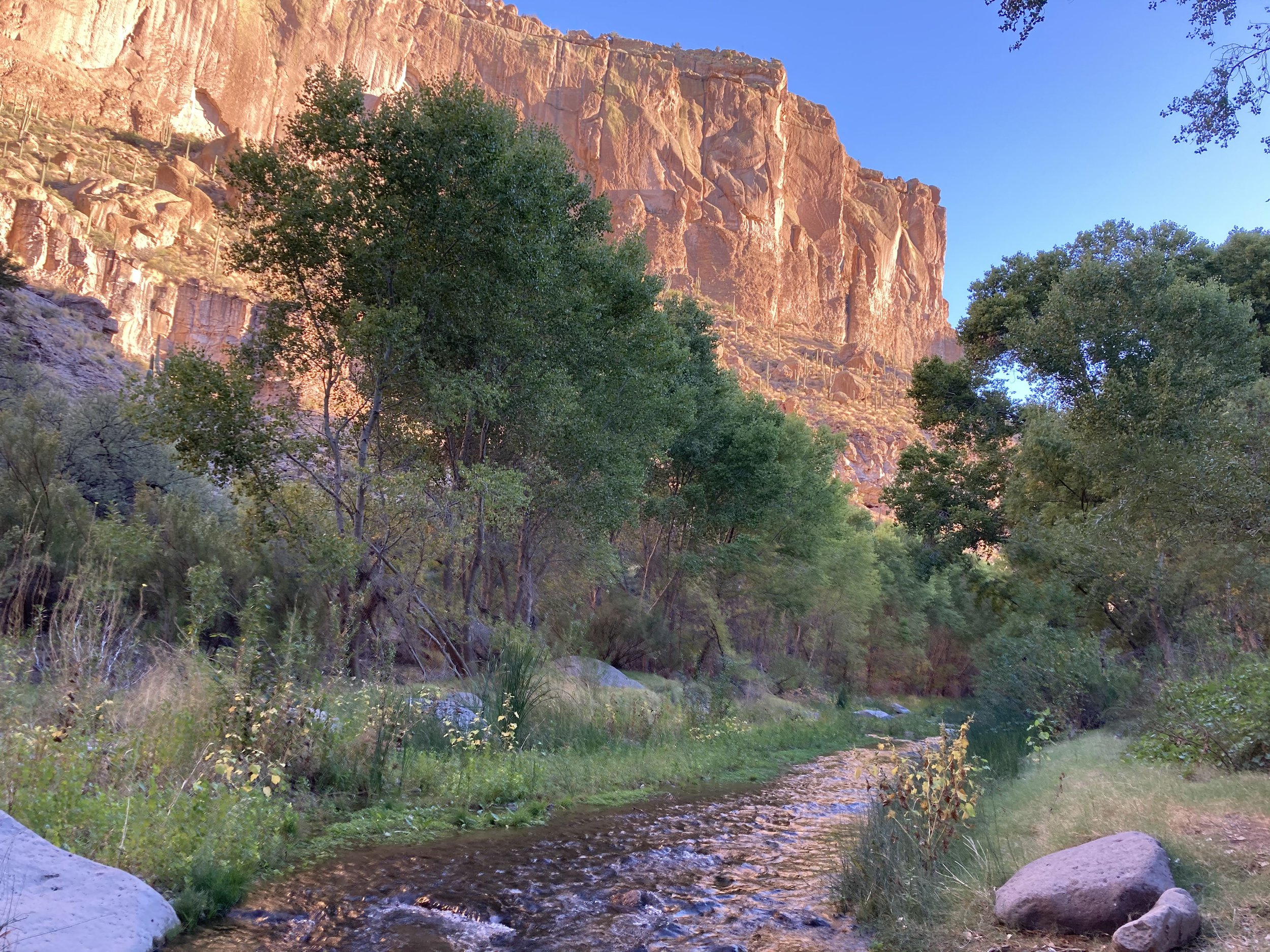
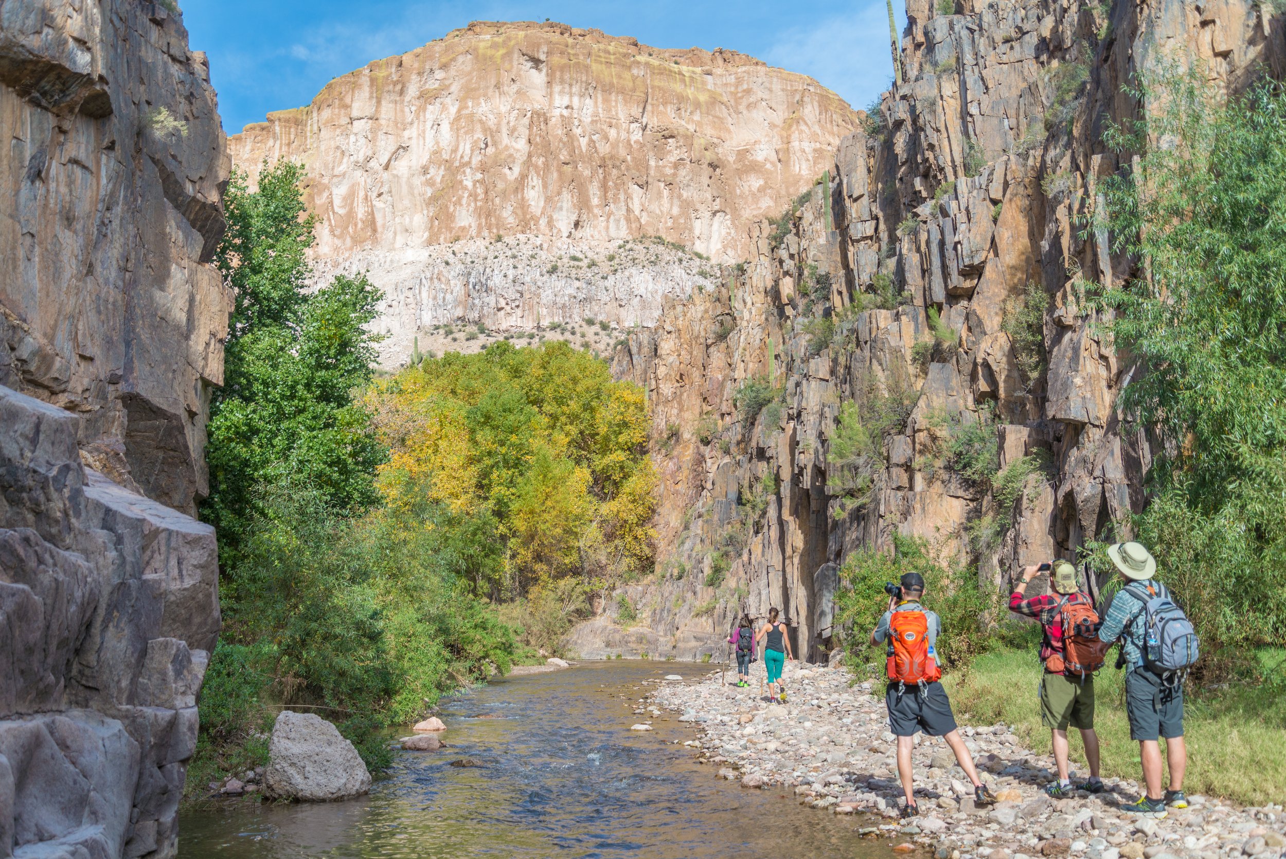
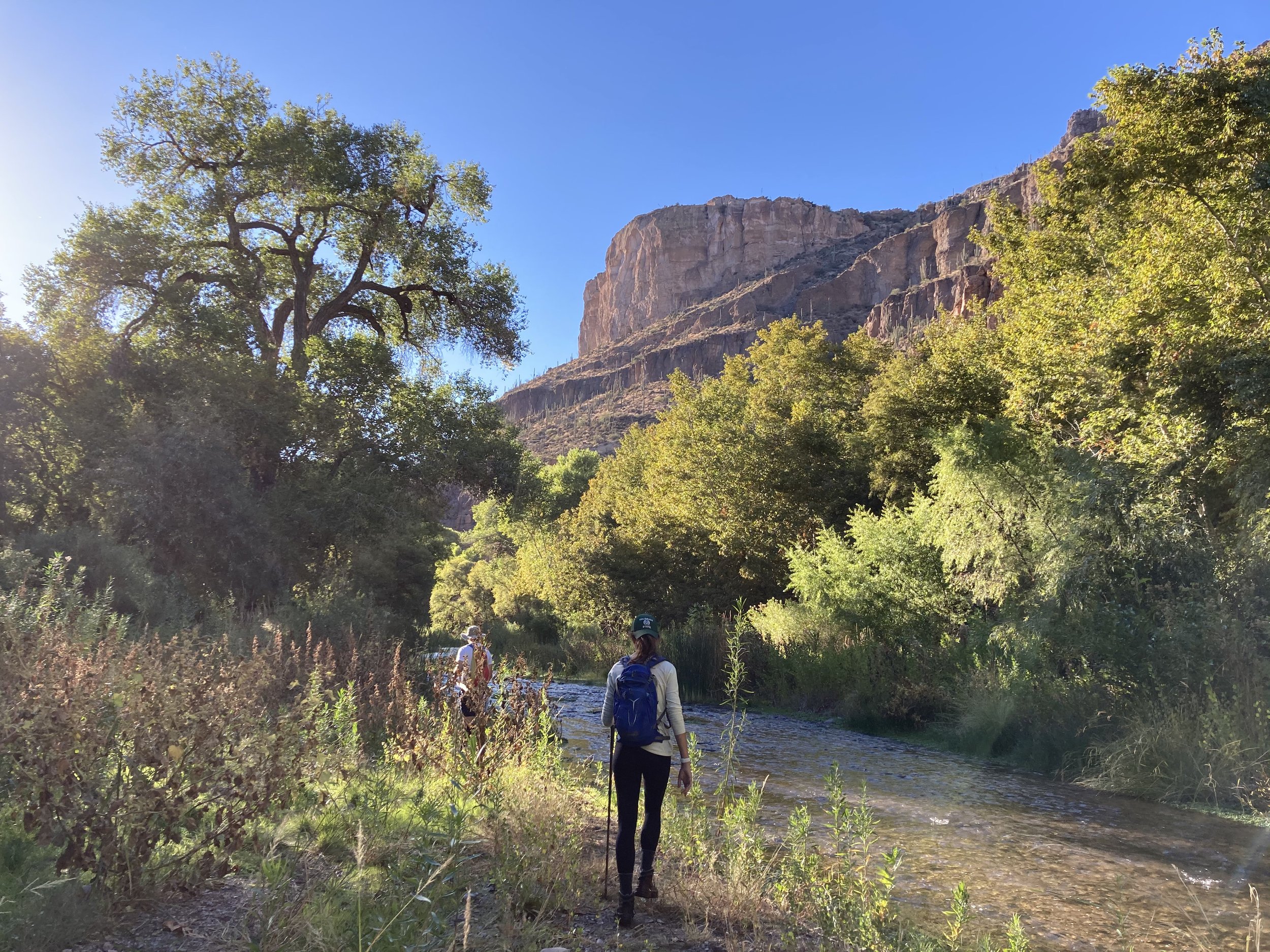
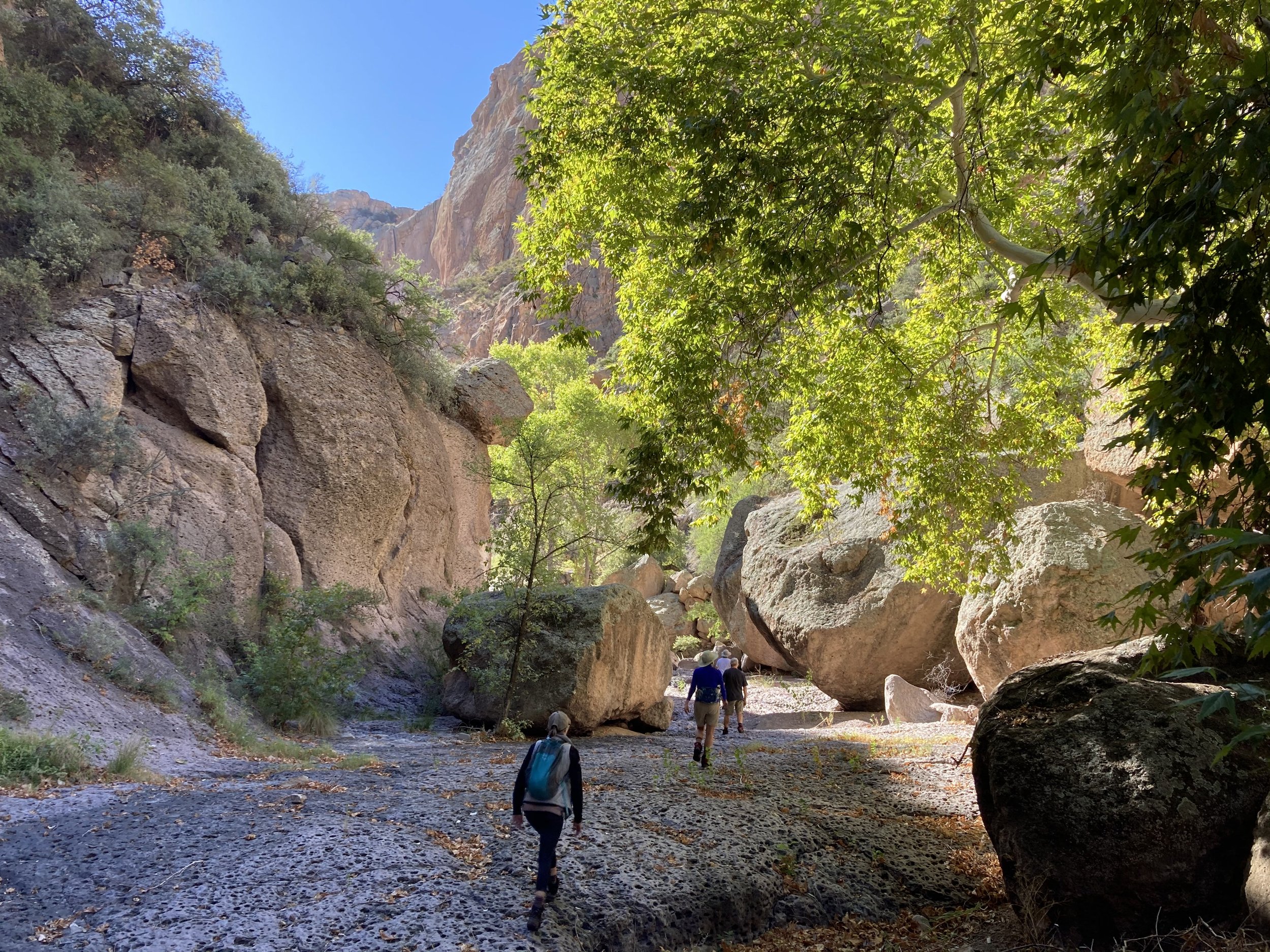
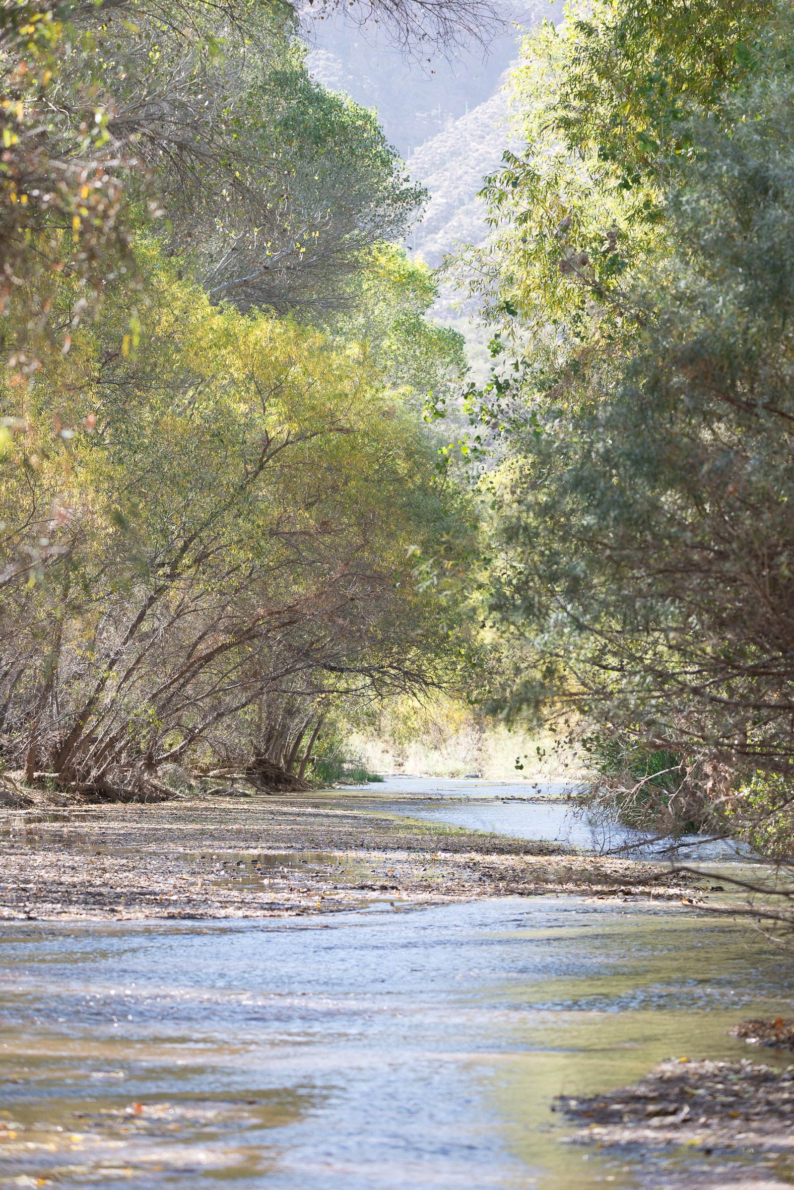
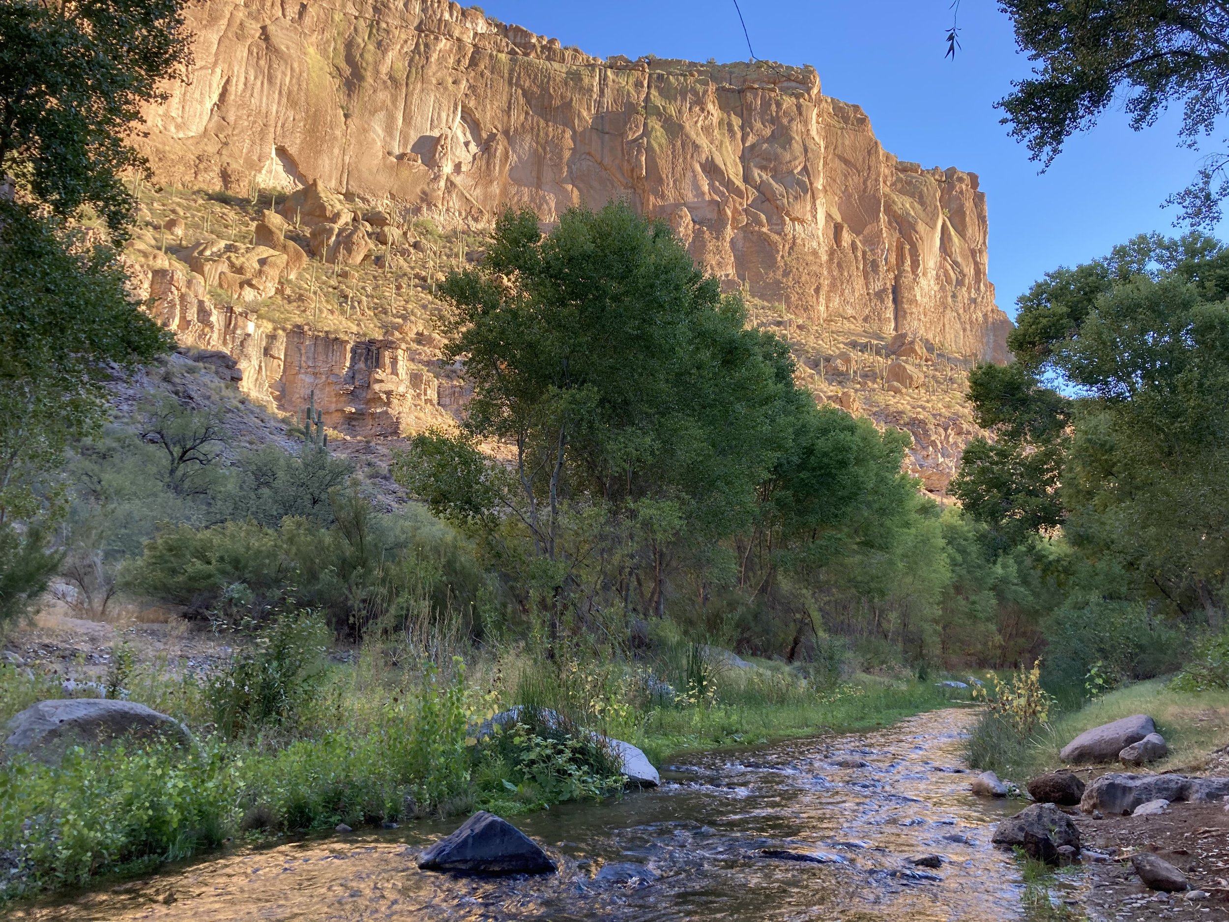
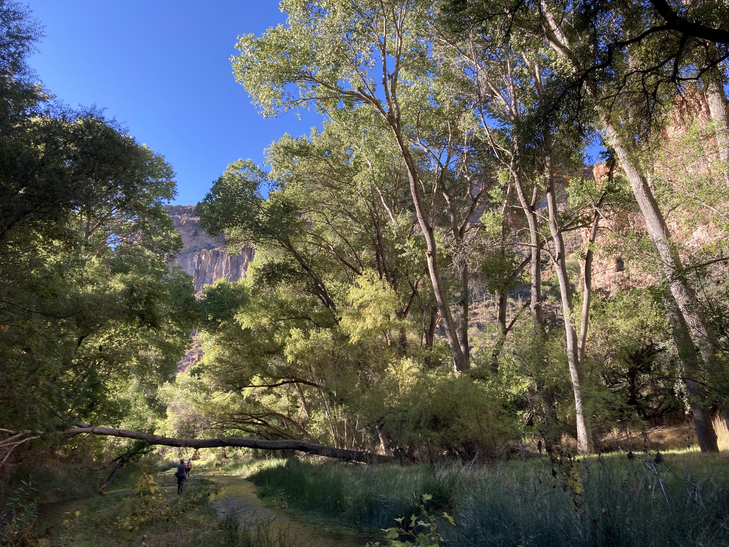
About Aravaipa
During your adventures, you may find traces of people who lived in the canyon thousands of years ago. This evidence, such as prehistoric or pioneer artifacts, is used by archaeologists and historians to piece together what we know about Arizona’s history. Please help them by respecting the sites and not taking artifacts.
The Aravaipa watershed was occupied by hunters and gatherers starting about 9,500 years ago during the Archaic Period, and later by Mogollon, Hohokam, and Saladoan peoples. The Hohokam and Salado were traditionally agricultural people who lived in pithouse villages and had a complex social organization. The limited amount of space available in the canyon bottom was suitable for seasonal use, but precluded extensive agriculture.
People used a wide variety of plant resources from the riparian area and canyon slopes; among those were saguaro and prickly pear cacti, oak, juniper pinyon, mesquite, palo verde, agave, and sotol. In addition, hunting and fishing were probably common seasonal activities.
The Salado people abandoned the area by A.D. 1450. Traces of their culture can be seen at the Turkey Creek cliff dwelling, located 1.4 miles south of the east wilderness entrance. The cliff dwelling is one of the most intact structures of its kind in southeastern Arizona. It was probably occupied for a few months each year by prehistoric farmers around 1300 AD. A trail leads visitors up to the structure. Help protect and preserve these ancient ruins; do not climb on the cliffhouse walls.
During the mid-19th century, the Aravaipa band of the Western Apache tribe inhabited Aravaipa Canyon and Aravaipa Valley between the Galiuro and Pinaleño mountains to the east. Their economic life was adapted to hunting and gathering wild resources and they practiced some corn agriculture. During the year, they moved around gathering ripened plant foods including mescal, saguaro fruit, mesquite beans, pinyon nuts, juniper berries, and oak acorns, one of the most important foods collected. They lived in dome-shaped, brush-covered dwellings and used deep round baskets to store foods.
During historic times, Spanish and Anglo pioneers used the canyon as a travel corridor between Tucson and the Gila Valley. The Apache used it as a part of a raiding route into Sonora. The Sobaipuri people bordered the Apache west of the San Pedro River and provided the Spanish with a buffer against the Apache for many years, but in 1762, Apache depredations became so bad that the Sobaipuri left the area and joined Pima people at San Xavier Mission and Tucson.
As hostilities with the Apaches increased, Camp Grant was established in 1856 at the junction of the San Pedro River and Aravaipa Creek. In 1871, the Apache agreed to stop hostilities and settle near the camp. Later that year, the Camp Grant massacre took place, enraged by continuing raids, a party of Tucson citizens banded together with Tohono O’odham people . They attacked and killed over 100 Apaches. Camp Grant was moved in 1872 to the south side of Mount Graham due to an increase in malarial infections in the troops. Soon after, 1500 Aravaipa and Pinal Apaches were moved to San Carlos.
Anglo and Hispanic settlers began arriving in Aravaipa in the 1870s and engaged in mining, stock raising, and farming. Resolution of the conflicts with the Apaches led to significant in-migration during the 1890s and a series of short-term mining booms contributed to the population increase. The village of Klondyke was surrounded by ranches, farms, and mining prospects, and became a distribution center for the east end of Aravaipa Canyon.